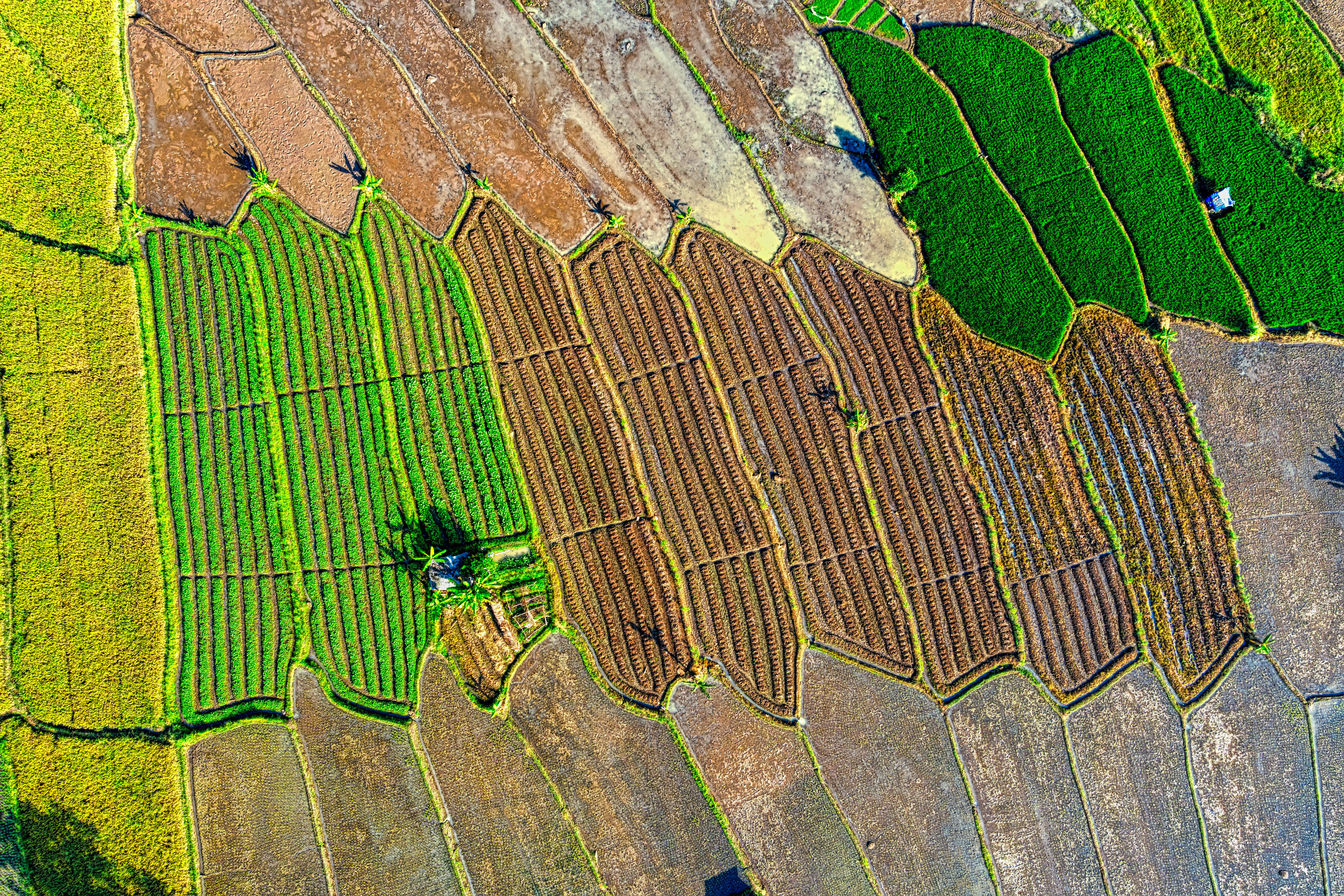
Can't See Everything
Miss crop stress in distant fields
Problems spread before you notice them
Monitor crop health, detect problems 2 weeks early, optimize irrigation, and predict yields—all from your smartphone. No drones. No sensors. Just AI-powered satellite insights.
Miss crop stress in distant fields
Problems spread before you notice them
Drones cost $10,000+ to buy
Consultants charge $500+ per visit
See problems when it's too late
Lose yield you could have saved
Traditional monitoring is too slow and expensive. AGRISAVE changes that.
AI analyzes satellite imagery to detect crop stress, disease, and pest damage before it's visible to the naked eye. Get alerts on your phone the moment something's wrong.
Soil moisture maps show exactly where to irrigate. Variable rate application maps help you apply fertilizer only where needed. Save money, increase yields.
AI models predict your harvest weeks in advance. Plan logistics, lock in prices, and make better decisions. Historical data shows trends over time.
Check your fields anytime, anywhere. Get push notifications for problems. Share reports with agronomists or lenders. Everything in one simple app.
Sign up and draw your field boundaries on our map. Takes 5 minutes. Or upload your existing shapefiles. We support all major formats.
Our AI processes satellite imagery from NASA and ESA satellites. Get crop health maps, soil moisture data, and yield predictions updated every 3 days.
View insights on your phone or computer. Get alerts when problems are detected. Download reports to share with agronomists. Make data-driven decisions.
Powered by: Sentinel-2 • Landsat 8 • Planet Labs • Google Earth Engine
| Feature | Drone Services | Consultants | AGRISAVE |
|---|---|---|---|
| Monthly Cost | $500-2,000 | $300-1,000 | $29 |
| Update Frequency | On-demand | Monthly visits | Every 3 days |
| Setup Cost | $10,000+ | $0 | $0 |
| Coverage Area | Limited | Limited | Unlimited |
| Historical Data | No | Limited | Since 2015 |
No setup fees • No per-acre charges • No hidden costs
14-day free trial • Cancel anytime • Volume discounts for 1,000+ acres
"AGRISAVE showed me a nitrogen deficiency in my north field 2 weeks before I could see it. Saved me 15 bushels per acre. Paid for itself in the first month."
Corn & Soybean Farmer, Iowa • 1,200 acres
"I check my fields every morning from my phone. The soil moisture maps tell me exactly where to irrigate. I've cut my water use by 30% and yields are up."
Almond Orchard, California • 240 acres
"As a young farmer, I can't afford consultants or drones. AGRISAVE gives me professional-grade monitoring for $29/month. It's like having an agronomist in my pocket."
Wheat & Cattle Ranch, Kansas • 800 acres
NASA and ESA satellites pass over your farm every 3-5 days, capturing multispectral imagery. Our AI analyzes this data to detect crop health, soil moisture, and potential problems before they're visible to the naked eye.
No! That's the beauty of satellite monitoring. You just need a smartphone or computer. No drones, no sensors, no hardware to buy or maintain. Everything works from space.
Our AI models are 95% accurate and validated by agronomists. We use 10-meter resolution imagery, which means we can detect issues in areas as small as 100 square meters. Accuracy improves as we learn your specific fields over time.
We use multiple satellites and radar technology that can see through clouds. If one satellite pass is cloudy, we'll use the next clear image. You'll always get updates within 3-7 days regardless of weather.
Yes! AGRISAVE works for corn, soybeans, wheat, cotton, rice, almonds, vineyards, and most other crops. Our AI is trained on millions of acres across all major crop types in North America.
Just $29/month for unlimited monitoring of all your fields. No per-acre charges, no setup fees, no hidden costs. 14-day free trial. Volume discounts available for farms over 1,000 acres.
Join 500+ farmers already using AGRISAVE. Monitor crop health, detect problems early, and increase yields with AI-powered satellite insights.
No credit card required • 14-day free trial • Cancel anytime